CRRF has always worked towards the goal of being a “positive asset” to Palau, doing things that will benefit Palau and make a worthwhile contribution. We have had active engagement in education programs about important resources in Palau, such as Jellyfish Lake and fish spawning aggregations, for students, the Koror State Rangers, managers and law makers responsible for protected areas. Worthwhile activities can also include less visible efforts to assist with protection and promotion of environmental work. We often ask “what will people want to know in 100 years from now.” With that long term focus in mind, we try to provide some of that information. If we don’t make an effort today, then there will be nothing for tomorrow.
Additionally, we believe it is important to share with the public our findings or new discoveries made during our work. We give a variety of talks to interested groups, such as the Palau Chamber of Commerce, Rotary Club, Belau Tourism Association and the local community.
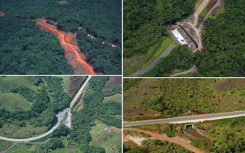
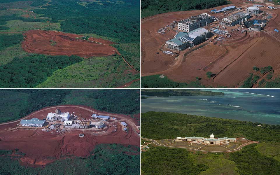
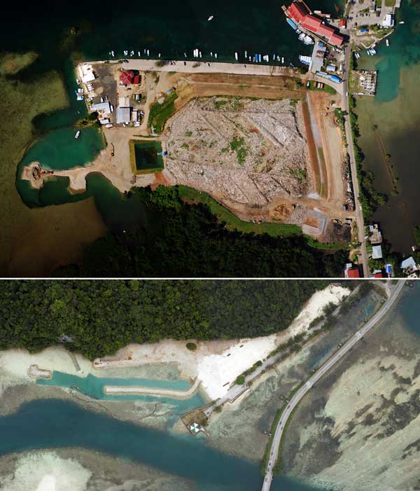
One of our most important public service activities has been reviewing Environmental Quality Protection Board (EQPB) Environmental Assessments (EA) and Environmental Impact Statements (EIS) since 1996. CRRF was a major reviewer of the Palau Compact Road project EIS, as well as the supplementary project EIS to dredge coral sand fill from villages in Babeldaob. This was the largest public works project ever undertaken in Palau and the EIS prepared was massive, covering the marine, terrestrial and archeological aspects of the project. When the construction kicked off in 2000, there was no mechanism to do overall monitoring of the disturbances and progress. CRRF proposed to do aerial photographic monitoring of the construction every three months for the duration of the project. For the next 5 years both vertical and oblique aerial photos were shot at regular intervals of the entire road way and provided to the contractors and the Palau National Government.


